

Tipperary could be facing second wintry weekend as rain, sleet and snow forecast overnight
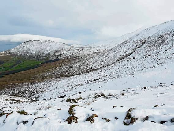

LOW OF -1 TONIGHT
Tipperary could be set for a second weekend of wintry conditions.
Met Eireann has warned of heavy rain tonight that could turn to snow before morning.
Rain, with some heavy bursts, will spread up over much of the country this evening and early tonight, turning wintry with some falls of sleet and snow.
The rain, sleet and snow will turn more showery overnight, but still occasionally heavy and prolonged over the northern half of the country. The risk of hail and thunder will also increase towards morning. Lows of minus 1 to plus 2 degrees. Light variable winds, becoming fresh to strong westerly, with gales developing on Atlantic coasts towards dawn.
The weather today is very windy and blustery for a time this morning in fresh to strong and gusty westerly winds, falling off this afternoon.
Dry for much of the day over the southern half of the country with sunny spells, however, showers will continue further north, prolonged with the risk of hail in Ulster this morning, before becoming isolated this afternoon. Clouding over from the southwest later today with rain pushing in towards evening. Highs of 7 to 10 degrees, but 5 to 7 degrees in Ulster.
Tomorrow, Sunday, will be a cold and raw day with widespread and frequent showers accompanied by fresh to strong and gusty westerly winds reaching gale force along Atlantic coasts.
Many of the showers will be heavy and wintry in nature with a mix of rain, hail, sleet and snow and scattered thunderstorms. Afternoon highs will be around 3 to 5 degrees generally, but 6 or 7 degrees in coastal areas of the south and southwest.