

ALERT: Irish weather forecast for next few days has some interesting predictions
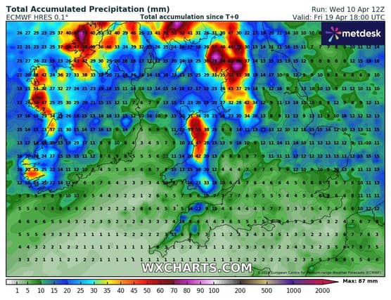

Met Éireann's five-day forecast is in and it's not good Irish weather on the way lads...
Saturday: Bright and breezy with a mix of sunshine and scattered blustery showers, after a mostly cloudy start. Some of the showers could be heavy in the north and west early on but they'll become isolated by late afternoon with long spells of sunshine developing.
Afternoon highs will range 8 to 15 degrees, coldest in the northwest. Moderate to fresh southwest winds will veer occasionally strong and gusty westerly by the afternoon.
Headline: Turning cooler this weekend with sunshine and showers. Rather breezy too.
Saturday night: Showers becoming isolated and confined to western and northwestern parts, with long clear spells developing elsewhere.
Chillier than of late with lowest temperatures of 2 to 6 degrees in mostly light to moderate southwest breezes, the winds freshening a little along the west coast by dawn.
Sunday: After a mostly dry and bright start for many on Sunday, cloud and outbreaks of rain will sweep eastwards over the country, followed by widespread blustery showers. Some of the showers will be heavy with a chance of hail and thunder, especially in the west and north. Highest temperatures of 9 to 12 degrees in moderate to fresh and gusty southwest winds, strong along Atlantic coasts.
Sunday night: Showers will continue through Sunday night, merging to longer spells of rain at times, especially in the west and northwest. Some heavy falls can be expected with hail and thunder possible. Lowest temperatures of 3 to 6 degrees in moderate to fresh and gusty southwest to west winds, increasing strong to near gale on coasts.
Monday: Cool and windy with a mix of sunshine and blustery showers, some heavy with hail in the north and northwest. Fresh to strong and gusty northwest winds with gales along western and northern coasts. Top temperatures of 8 to 11 degrees and feeling colder than that in the brisk northwest winds.
Monday night: Showers becoming confined to the west and north with clear spells developing elsewhere. Lowest temperatures of 4 to 7 degrees with northwest winds gradually moderating.
Tuesday: Sunny spells and showers, most frequent in the west and north. Highest temperatures 9 to 13 degrees in a moderate to fresh northwest wind.
Further Outlook: Winds will continue to ease through midweek but a northerly airflow will persist so temperatures will only slowly recover.
Showers will likely become increasingly isolated towards the end of the week as high pressure looks set to build from the Atlantic.