

ALERT: Met Éireann's Irish weather forecast for week ahead as some disturbing updates

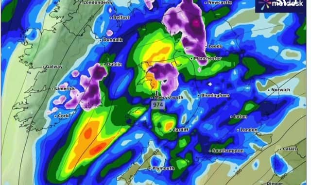

Be advised - this Irish weather forecast is not good!
Monday: Bitterly cold Monday with widespread frost and lying snow. There'll be sunshine and scattered showers of rain, hail, sleet and snow.
Some thunder is possible too. Top temperatures generally ranging from 1 to 5 degrees but staying below freezing over snow-fields. Northwesterly winds will increase moderate to fresh and gusty, stronger for a time in Atlantic areas.
Overview: Very cold with widespread frost and ice along with scattered wintry showers. Some areas of freezing fog also.
Clear spells and scattered sleet and snow showers on Monday night, the showers most frequent in the west and north. Widespread frost and ice with lowest temperatures of -5 to zero degrees in moderate west to northwest winds.
Tuesday: Another very cold day on Tuesday with sunshine and further scattered few wintry showers in the west and north of the country. Frost and ice will linger in some areas all day with highest temperatures ranging from 0 to +5 degrees in moderate northwest winds.
Bitterly cold on Tuesday night with severe frost as minimum temperatures range from -8 to -3 degrees in light westerly or variable winds.
Areas of freezing fog will develop in some areas leading to hazardous travelling conditions. Still a few wintry showers along the north coast.
Wednesday: Very cold on Wednesday with areas of ice and freezing fog lingering in many areas throughout the day. Where the fog does clear there will be spells of sunshine.
Maximum afternoon temperatures will generally range from -3 to +3 degrees in mostly light westerly winds. A little less cold in the northwest of the country. Further wintry showers in northern and northwestern coastal fringes later in the day.
Another bitterly cold night on Wednesday night with widespread frost and ice along with areas of freezing fog. Some sleet and snow showers along northern and northwestern coastal areas. Lowest temperatures of -7 to -2 degrees.
Any wintry showers in the north and northwest dying out on Thursday to give a mainly dry chilly day with some sunshine, However frost and freezing dog lingering in southern parts. Max -2 to +5, coldest in the south.
Further outlook: Rain, sleet and snow spreading northeastwards on Thursday night and Friday, followed by a gradual improvement on temperatures over next weekend.